
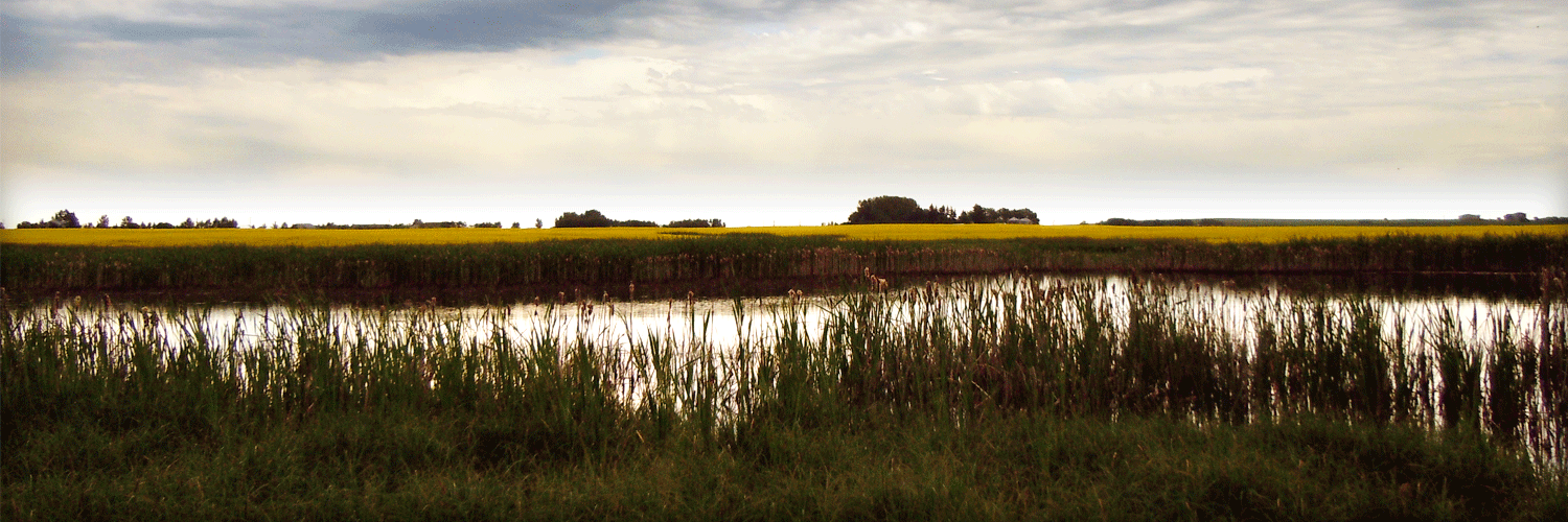
Ecosystem Services Pilot on Wetlands
Client Alberta Environment
Location Alberta | Canada
Alberta Environment retained O2 to model and communicate hydrologic wetland ecosystem service values such as water storage, flood control, and water filtration. O2 reviewed the current status of knowledge and research, and combined multiple data sources within a Geographic Information System (GIS) to generate a series of user-friendly maps for a 267 km² pilot study area.
The GIS-based assessment was combined and compared with site-based field assessments of wetland ecosystem services. An analysis and discussion highlighting the potential implications for provincial wetland policy and management was also conducted.