
Analytics
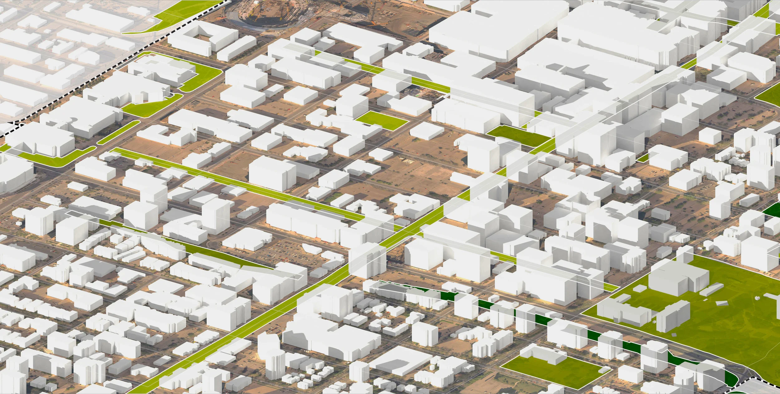
O2 is at the forefront of GeoDesign, an approach that integrates geographical information systems (GIS) into a comprehensive design approach. Working from a foundation of existing data and models, GeoDesign combines geographical data with comprehensive tools that allow for quick evaluation of potential planning solutions.
Our team uses GeoDesign to integrate multiple disciplines and considerations into plans and designs. This approach facilitates a collaborative approach that employs available information efficiently to devise an optimal approach in less time. GeoDesign is supported through tools developed for ArcGIS, including the CityEngine software package.


Toronto Parkland


Winnipeg Recreation + Parks Strategies


County of Newell Web GIS Enterprise System

Emerald Crescent Geodesign

Lethbridge Integrated Growth Management Strategy