River Valley and Tributaries Park Space Concept Plan
Client The City of Red Deer
Location Red Deer | Alberta | Canada
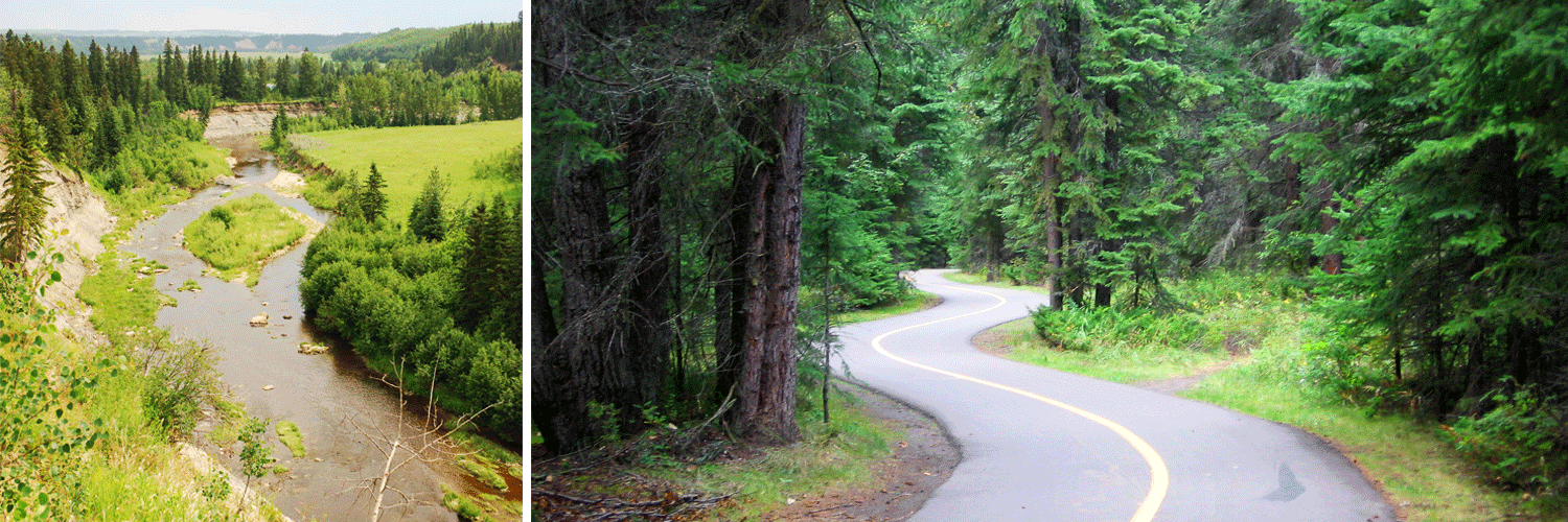
Thirty years ago, the vision for a linear open-space park system for the Red Deer River Valley began. This vision led to the development of Waskasoo Park, a system that now includes 994 hectares of parkland, 95 kilometres of trails, sports fields, recreation facilities, and cultural and natural centers. Today, city planners project the City’s population will reach 300,000 by mid-century. To accommodate increased population and economic activity over the next 30 to 50 years, The City of Red Deer and Red Deer County recently adopted an Intermunicipal Development Plan (IDP) that identifies potential growth areas.
The River Valley & Tributaries Park Concept Plan (RVTPC Plan) identifies lands best suited for potential trails and parks within the City of Red Deer Growth Area. O2 used a series of GIS-based analyses of environmental conditions to understand the landscape.
Along with technical work, O2 led a design workshop for stakeholders to conceptualize the expanded park system. The RVTPC Plan includes 3,655 hectares of land (2,889 hectares of Proposed Parkland plus 766 hectares of Special Study Area), 358 km of trails, and 14 park nodes.
Included in the plan are lands adjacent to the Red Deer River, Blindman River, Sylvan Creek, Waskasoo Creek, Piper Creek, Hazlett Lake, Cameo Lake, unnamed tributaries, wetlands, sloughs and floodplains. The RVTPC Plan aims to protect ecologically sensitive lands, fulfill a desire for more natural parkland, and respect the ecological services natural resources provide.