
Valued Landscape Modelling for the South Saskatchewan
Regional Plan
Client Government of Alberta, Sustainable Resource Development | Land-Use Secretariat, Alberta
Location Alberta | Canada
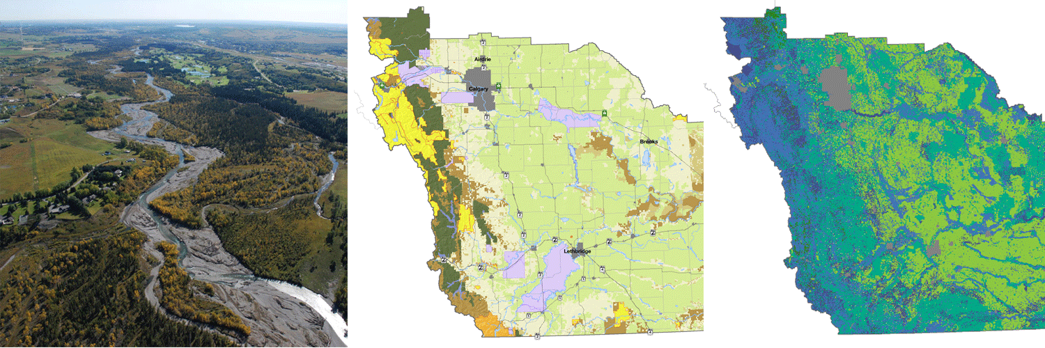
The South Saskatchewan Regional Plan is the second of seven ongoing regional plans under development for Alberta’s Land-Use Framework. The region encompassed by the plan is 83,764 km², roughly the size of Austria. This area contains the largest population in Alberta, including a number of high density urban centers as well as extensive rural households. The land is highly valued by a wide variety of stakeholders, with opportunities for a number of conflicting land-uses; extensive oil and natural gas reserves, high quality agricultural soils, heavily accessed recreation and tourism opportunities, and extensive rangelands providing ample economic benefit. This region also contains essential remnant habitats for a wide variety of species at risk and experiences extensive demands on a limited water supply.
O2 adopted a systematic, multi-objective land-use model to generate efficient and robust land-use solutions which balanced the conflicting needs of all stakeholders, meeting cultural, economic and conservation objectives specified by established stakeholders. This provided a rigorous and defensible planning tool to explore land-use planning decisions in a visual and responsive fashion. These analyses provided a comprehensive summary of the complex distribution of valued features in this region, and aided the development of a consensus regional plan in the face of widely varying stakeholder objectives.